Categories:
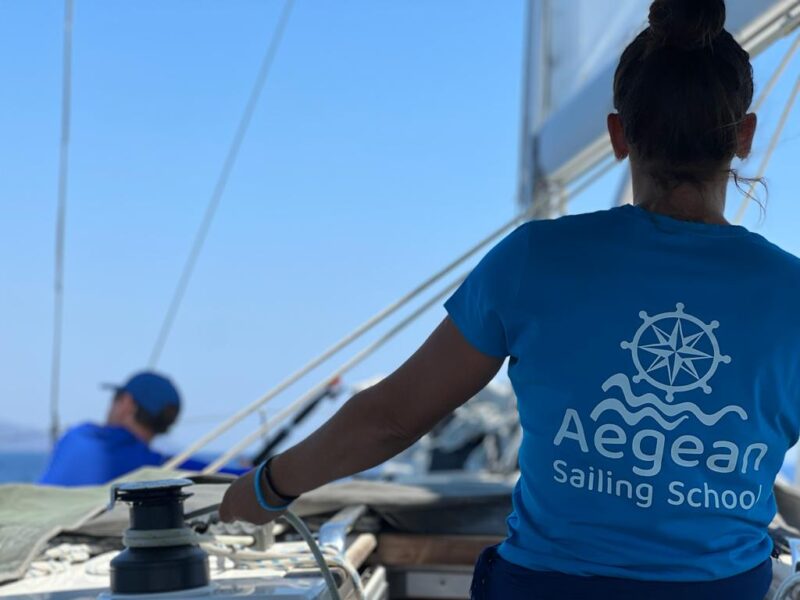
Are you joining us in Aegina soon for a sailing course? Fantastic! To help you arrive well prepared, we’ve put together some useful tips, resources, and videos to get you started!
While Google Maps helps you navigate on land, Navionics takes you below the surface and provides detailed information about the seabed and underwater topography. With its chart overlays, you can instantly understand depth contours and underwater features. We use Navionics on all of our chart plotters, and it’s an excellent tool for learning and planning. Best of all, the app offers a free trial period of two weeks, making it ideal for your course.
Windy is a powerful weather forecasting tool that every sailor should have at their fingertips. It provides clear and detailed weather information, helping you make safe and informed decisions on the water. Understanding the weather has never been easier, and learning to use Windy will be a valuable skill throughout your sailing journey.
Modern chart plotters make navigation more accessible than ever. By combining familiar touchscreen technology with detailed nautical charts, they allow sailors to apply safe navigation practices with confidence. During your course, you’ll learn how to use chart plotters effectively as an essential part of modern seamanship.
AIS has become standard equipment on most modern yachts and small craft. It allows vessels to identify and track one another, greatly improving situational awareness. You’ll use AIS extensively on our chart plotters while learning to apply the International Regulations for Preventing Collisions at Sea (COLREGs), often referred to as the “Rules of the Road”.
Radar is now an integral part of modern digital navigation and is fully integrated into our chart plotter systems. It provides a clear visual picture of surrounding traffic and weather conditions, enhancing safety at sea. During the course, you’ll learn key radar concepts such as relative motion and true motion. You’ll also discover how AIS target information can be displayed visually through vectors and tracking symbols, as well as numerically through data such as CPA (Closest Point of Approach), relative bearing, and more. Understanding these tools will significantly improve your situational awareness and collision avoidance skills.
The International Regulations for Preventing Collisions at Sea (IRPCS), commonly known as the COLREGs, are the maritime equivalent of traffic rules. They explain how vessels should behave in different situations to prevent collisions and ensure safe navigation. Our learning materials introduce these rules in a practical and engaging way, helping you become familiar with concepts that you’ll be able to apply immediately during your course.
Although tides have only a limited effect in Greece, understanding how tidal currents influence your boat while manoeuvring and underway is an important sailing skill, especially if you plan to sail in areas with significant tidal ranges. As an added bonus, the Windy app includes real-time tidal current and tidal stream animations, making it easier to visualize how water movement affects navigation.
You don’t need to be a mechanic to understand the basics of a yacht’s diesel engine. During your course, you’ll learn how to perform routine checks and recognise the early signs of common engine issues. The resources provided will help you understand the essentials in a straightforward and practical way, even if you have no previous technical experience.
Read what some of our sailing students have to say, explore our course catalogue, and contact us for more information about each course and our availabilities to come and sail in Greece!